2005
NS3948 : Farm
taken 18 years ago, near to Burnhouse, North Ayrshire, Scotland
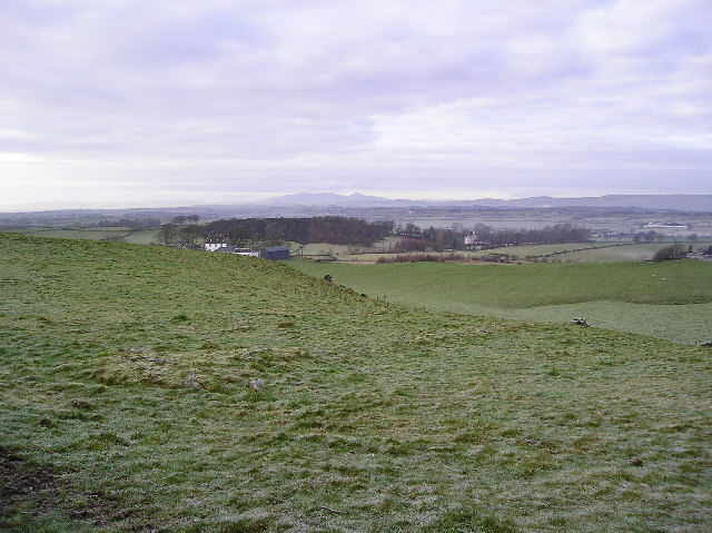
Farm
View to Low Borland farm, with to the right and further west (NS3848) Aiket Castle can be seen, and on the horizon the hills of the Island of Arran.
 Map © Crown Copyright")
TIP: Click the map for more Large scale mapping
- Grid Square
- NS3948, 15 images (more nearby 🔍)
- Photographer
- Chris Court (more nearby)
- Date Taken
- Tuesday, 27 December, 2005 (more nearby)
- Submitted
- Tuesday, 27 December, 2005
- Subject Location
-
OSGB36:
 NS 392 485 [100m precision]
WGS84: 55:42.1924N 4:33.6287W