M0788 : Pasture at Derrycooraun
taken 16 years ago, near to Islandeady, Co Mayo, Ireland
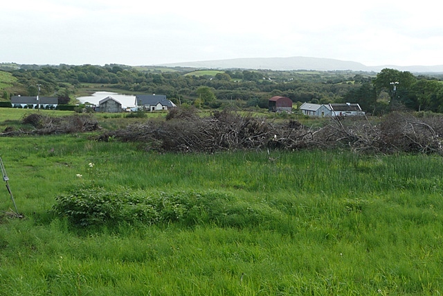
Pasture at Derrycooraun
Looking south into most of the square with Druminahaha Lough visible to the left. The pasture is being used to store brushwood presumably for domestic fires instead of peat.
![Creative Commons Licence [Some Rights Reserved]](https://s1.geograph.org.uk/img/somerights20.gif)
|
· Find out How to reuse this image ·
Share:
|
|||||
| Start a discussion on M0788 | Suggest an update to this image | Contact the contributor | |||
Loading map... (JavaScript required)
- Grid Square
- M0788 (more nearby
 )
)
- Photographer
- Graham Horn (find more nearby)
- Date Taken
- Friday, 12 September, 2008 (more nearby)
- Submitted
- Friday, 19 September, 2008
- Category
- Pasture (more nearby)
- Subject Location
-
Irish:
 M 076 885 [100m precision]
WGS84: 53:50.2904N 9:24.2429W - Camera Location
-
Irish: M 075 888
- View Direction
- South-southeast (about 157 degrees)
This page has been viewed about 33 times.
View this location:
KML (Google Earth) ·
Google Maps ·
Bing Maps ·
Geograph Coverage Map ·
More Links for this image
·
Bing Maps ·
Geograph Coverage Map ·
More Links for this image