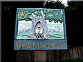
Worlingham, Suffolk :: Shared Description
Link
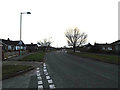
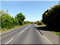
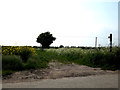
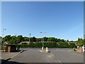
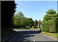
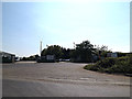
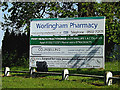
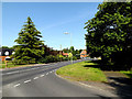
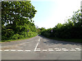
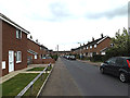
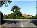
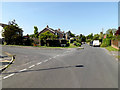
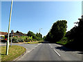
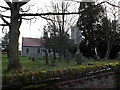
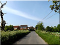
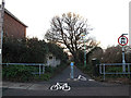
Worlingham is a village and civil parish in the East Suffolk district of the English county of Suffolk. It is about 1.3 miles (2.1 km) east of Beccles, with the two places effectively joined to form one urban area. At the 2011 census it had a population of 3,745; the combined population of Beccles and Worlingham is 13,868. The parish has increased in population in recent years due to the development of suburban housing areas within the built up area, going up by over 13% between the 2001 and 2011 censuses.Worlingham is around 5 miles (8.0 km) west of Lowestoft and 17 miles (27 km) south-east of the major city of Norwich in Norfolk The parish is bordered to the north by the River Waveney and northern sections form part of The Broads National Park area. The Ipswich to Lowestoft railway line passes through this area, with the nearest railway station at Beccles.Other than Beccles, the parish borders the parishes of North Cove, Mutford, Ellough and Weston. To the north the parish of Aldeby lies across the River Waveney in Norfolk. The A146 Beccles bypass, built during the 1980s, passes through the parish whilst the A145 Beccles southern relief road runs along the parish's eastern and southern borders. Parts of the Beccles Airfield site along the A145 are located within the parish; these are used for a variety of industrial uses, including the printing works of William Clowes which relocated from Beccles in the early 21st century.
This extract uses material from the Wikipedia article "Worlingham", which is released under the Creative Commons Attribution-Share-Alike License 3.0.
by Geographer
More nearby...
- Beccles pubs past and present
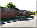
- Crinkle-crankle walls in Suffolk
- Beccles, Suffolk
- Village Signs of East Anglia
- RAF Beccles/HMS Hornbill II
- River Usk
By N Chadwick. Used on 2 images
- Lowestoft with Kirkley & Pakefield
By Adrian S Pye. Used on 177 images
- Ellough (Beccles) WWII Airfield
By Adrian S Pye. Used on 14 images
- Waveney Valley Railway
By N Chadwick. Used on 4 images
- Callendar Park and the Antonine Wall
By M J Richardson. Used on 23 images
- River Waveney
By Adrian S Pye. Used on 259 images
- North Cove Nature Reserve
By Roger Jones. Used on 3 images
- Norfolk Rivers
By Adrian S Pye. Used on 188 images
- View all images using this description in the Browser | On a Map
- View all images using "Worlingham, Suffolk" Shared Description(s) | (Just this shared description)
- This description is located in TM4389,
 Links for TM4389 | Photos for TM4389
 - Find nearby images mentioning the words [ Worlingham, Suffolk ] | (in the Browser)
These Shared Descriptions are common to multiple images. For example, you can create a generic description for an object shown in a photo, and reuse the description on all photos of the object. All descriptions are public and shared between contributors, i.e. you can reuse a description created by others, just as they can use yours.
Created: Tue, 26 Feb 2019, Updated: Tue, 26 Feb 2019
The 'Shared Description' text on this page is Copyright 2019 Geographer, however it is specifically licensed so that contributors can reuse it on their own images without restriction.