Showing most recent first, in descending order
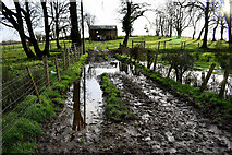
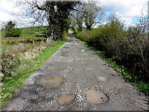
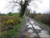
3 images in cluster Country Lane in H4269
Image clustering - assigning images labels - is an automated process, based on the image title/description. It's not totally accurate, and can sometimes assign images to odd clusters
in H4269, near Glenfern, by Kenneth Allen
When: 9 December, 2019
When: 30 April, 2015
When: 8 March, 2012
Explore these images in the Browser or Explore matching images including in surrounding squares (if any!)
All images  © Kenneth Allen and licensed for reuse under this Creative Commons Licence
Other Automatic clusters in H4269
- Whitehill Road
- Road at Creevangar Alexander
- Loughmuck Road
- Mullaghmore
- Fireagh Gardiner
- Townland
- South
- White
- Creevanmore
- Heading SSE
- Pictured along Creevangar Road
- Heading North
- South from Creevangar Road
- North from Creevangar Road
- Pictured along Fireagh Road
- West
- Loughmuck Road at Mullaghmore
- Heading NNW
- Fireagh Townland
- North-east
- South-west
- Looking East
- Drudgeon Road
- St Mary's Church
- Heading South-east
- Heading WSW
- Looking North-east
- Heading ESE from Creevangar
- Junction
- Sign
- Frosty
- Loughmuck Wallace
- Creevanmore White
- Rough Ground
- Snow along Whitehill Road
- Heading East
- Loughmuck Alcorn
- St Mary's RC Church
- Looking North from Creevangar Road
- Wintry at Creevangar
- Low Hill
- Fireagh Thompson Gardiner
- Slush
- Farm Building
- Potholes
- Rusty Gate
- Whins
- Looking WSW
- Drumragh Graveyard
- Creevan Burn
- Sheep
- Open
- Snow Covered
- Rushy Ground
- Country Lane
- Vacant Farmhouse
- Icy Pond
- Wintry at Creevangar Alexander
- Sloping Field
- Lough Muck
- Muddy Lane
- Hedge and Trees