Showing most recent first, in descending order
4 images in cluster Flurry River in J0718
Image clustering - assigning images labels - is an automated process, based on the image title/description. It's not totally accurate, and can sometimes assign images to odd clusters
in J0718, near Jonesborough, by Eric Jones
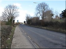
When: 14 February, 2019
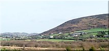
When: 26 February, 2015
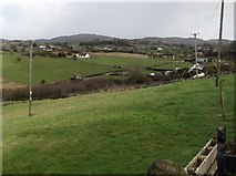
When: 26 February, 2015
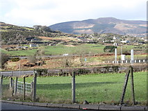
When: 26 February, 2015
Explore these images in the Browser or Explore matching images including in surrounding squares (if any!)
All images  © Eric Jones and licensed for reuse under this Creative Commons Licence
Other Automatic clusters in J0718
- South of the Border
- Road Junction on the R132
- Carrickdale Hotel and Spa
- Border in Co Louth
- Edentober Mountain
- Morgan Fuels Depot
- Bureau de Change on the R132
- Flurry River
- Irish Customs
- Junction 20 of the N1
- Southern end of Newtown Road
- ROI Customs Facility at Carrickarnon
- Ferryhill Road at Edentubber
- Edentubber Memorial
- Cottage
- Armagh Louth
- Bases could well be Reactivated
- Building
- Near
- Cooley Mountains
- Lorry
- Flurry Valley
- Field
- Carrickcarnon
- Entrance
- Farm House