Showing most recent first, in descending order
2 images in cluster Ground in J0016
Image clustering - assigning images labels - is an automated process, based on the image title/description. It's not totally accurate, and can sometimes assign images to odd clusters
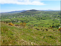
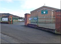
in J0016, near Forkhill, by Eric Jones
When: 14 May, 2019
When: 29 October, 2018
Explore these images in the Browser or Explore matching images including in surrounding squares (if any!)
All images  © Eric Jones and licensed for reuse under this Creative Commons Licence
Other Automatic clusters in J0016
- Jackson's Folly
- Bog Road
- O'Hagan's Quarry
- GAA
- Croslieve and Slievebrack
- Summit Ridge of Croslieve
- Communications Mast
- Church Road
- Blue Light Emergency
- Crosslieve Mountain
- Section
- View North
- Peadar O'Doirnin GAA Club
- Composed of Vent Agglomerates
- Tower was Built as a Picnic Spot
- Bend
- Ground
- Forestry Path
- Eastern Slopes of Croslieve
- Cliff
- Boulder Near Jackson's Folly
- West