Showing most recent first, in descending order
3 images in cluster Hill in H4075
Image clustering - assigning images labels - is an automated process, based on the image title/description. It's not totally accurate, and can sometimes assign images to odd clusters
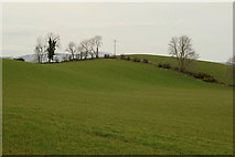
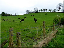
in H4075, near Dunwish, by Kenneth Allen
When: 23 March, 2020
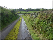
When: 24 September, 2017
When: 21 April, 2017
Explore these images in the Browser or Explore matching images including in surrounding squares (if any!)
All images  © Kenneth Allen and licensed for reuse under this Creative Commons Licence
Other Automatic clusters in H4075
- Mullagharn Road
- Pictured
- Dunwish Townland
- Mullanatoomog Road
- Pictured along Dunwish Road
- Shanmullagh Road
- Kilmore Townland
- Calkill
- Fairy Water
- North-west
- North
- East
- North-east
- Millbrae Road
- Heading South-west
- Junction
- Heading South-east
- West
- Heading NNE
- Looking North
- Pictured along Mullanatoomog Road
- Heading SSW at Dunwish
- Heading ESE
- Looking North-east
- Muddy
- Heading North
- Calkill Townland
- Mullanatoomog Townland
- Heading South
- Junction with Mullagharn Road
- Heading WNW
- Cattle
- NNW
- Sign
- Heading WSW
- Dudgeon Bridge
- Heading SSE
- Junction with Shanmullagh Road
- Drudgeon Bridge
- Sheep
- Google Map
- Fairy Water River
- Open Field
- Rough Lane
- Hill
- Notice
- Distant Trees
- Townland Name
- Gap in the Hedge
- Gillygooley Walking Club
- Bend along the Fairy Water
- Killmore
- Wet Ground