Showing most recent first, in descending order
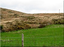
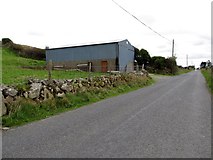
2 images in cluster Intake Land in J0324
Image clustering - assigning images labels - is an automated process, based on the image title/description. It's not totally accurate, and can sometimes assign images to odd clusters
in J0324, near Camlough, taken Friday, 11 April, 2014, by Eric Jones
Explore these images in the Browser or Explore matching images including in surrounding squares (if any!)
All images  © Eric Jones and licensed for reuse under this Creative Commons Licence
Other Automatic clusters in J0324
- Keggall Road and Camlough Lake
- Mountain Road
- Camlough Granite Quarry
- Disused Quarry
- Lough
- Slopes of Camlough Mountain
- Section
- Million Years Ago
- 11kv Power Lines
- Intake Land
- Field
- Fault Guided
- Car Park
- South