Showing most recent first, in descending order
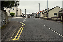
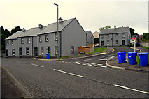
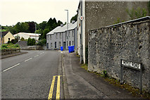
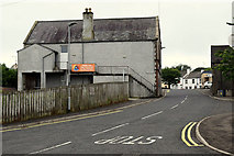
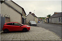
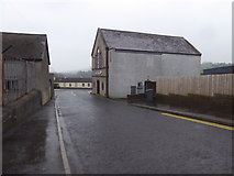
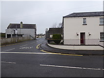
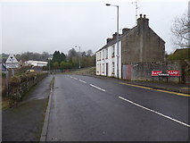
23 images in cluster Moyle Road in H4085
Image clustering - assigning images labels - is an automated process, based on the image title/description. It's not totally accurate, and can sometimes assign images to odd clusters
in H4085, near Moyle/H4085, by Kenneth Allen
When: 30 June, 2020
When: 30 June, 2020
When: 30 June, 2020
When: 30 June, 2020
When: 30 June, 2020
When: 9 January, 2018
When: 9 January, 2018
When: 9 January, 2018
When: 9 January, 2018
When: 9 January, 2018
When: 9 January, 2018
When: 9 January, 2018
When: 16 January, 2013
When: 16 January, 2013
When: 16 January, 2013
When: 16 January, 2013
When: 16 January, 2013
When: 24 June, 2010
When: 14 September, 2009
When: 17 August, 2009
When: 1 October, 2008
When: 1 October, 2008
When: 1 October, 2008
Explore these images in the Browser or Explore matching images including in surrounding squares (if any!)
All images  © Kenneth Allen and licensed for reuse under this Creative Commons Licence
Other Automatic clusters in H4085
- Pictured along Main Street
- Newtownstewart Castle
- Located along Main Street
- Townhall Street
- Dublin Street
- Castle Brae
- Twelfth Celebrations
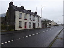
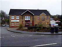
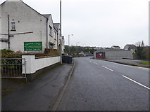
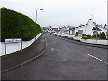
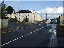
- Moyle Road
- North-east
- Newtownstewart Town
- Junction
- Pictured along Townhall Street
- Methodist Lane
- North
- Looking South-west along Main Street
- Strabane Road
- Douglas Road
- Hood
- Closed
- Heading WNW
- County Tyrone
- West
- McNamee
- Newtownstewart Pharmacy
- Newtownstewart Library
- Conway's Bar
- Dublin Road
- Stall
- Northern Bank
- Church of Ireland
- Credit Union
- Stewart Castle
- Mourne River
- Vacant
- River Strule
- Oratory
- Corner
- Abercorn Arms
- Sion Mills
- Sharon's Plaice
- Looking WSW
- Orange Hall
- Avery Park
- Junction of Dublin Street and Main Street
- Mill Street
- St Eugene's Park
- Charity Shop
- Credit Union Centra
- Village of Newtonstewart
- Betting Office
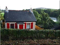
- House with Shutters
- Gallagher's Pub
- Interior View
- Bus Service
- Inscribed Stone to Arch
- New Section of the A5
- Nisa Local
- 12th July Parade
- DUP Advice Centre
- South-west from the Junction
- Abercorn Arms Hotel