Showing most recent first, in descending order
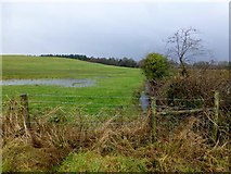
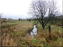
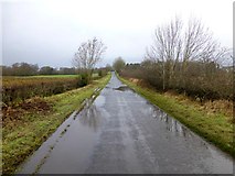
3 images in cluster Old Doogary Road in H4769
Image clustering - assigning images labels - is an automated process, based on the image title/description. It's not totally accurate, and can sometimes assign images to odd clusters
in H4769, near Ranelly, taken Monday, 27 January, 2014, by Kenneth Allen
Explore these images in the Browser or Explore matching images including in surrounding squares (if any!)
All images  © Kenneth Allen and licensed for reuse under this Creative Commons Licence
Other Automatic clusters in H4769
- Pictured at Aghagallon
- Aghagallon Townland
- Heading SSE
- Marshall Trail
- Aghagallon Lislea
- Edenderry Church of Ireland
- West
- Heading East
- North-west
- Doogary Avenue
- Burn
- Bloody Bridge
- Sign
- Small Bridge along Crevenagh Road
- Tree
- Looking North from Edenderry Road
- Heading West towards Crevenagh Road
- Heading East from Crevenagh Road
- Old Doogary Road
- Muddy Field
- Omagh
- South
- Edenderry Parish
- Looking Eastwards
- Attention was Drawn
- Field of Standing Stones
- Gas Pipeline Marker
- Shadow
- Hall
- Open Field
- Near Tattykeel
- Wet along Crevenagh Road