Showing most recent first, in descending order
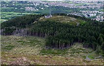
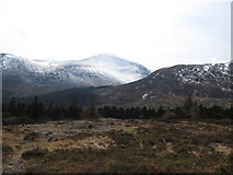
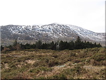
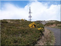
31 images in cluster Summit of Drinnahilly in J3630
Image clustering - assigning images labels - is an automated process, based on the image title/description. It's not totally accurate, and can sometimes assign images to odd clusters
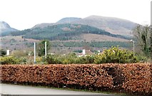
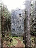
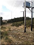
in J3630, near Newcastle/J3829, by Eric Jones
When: 13 January, 2024
When: 22 December, 2020
When: 11 March, 2017
When: 11 March, 2017
When: 11 March, 2017
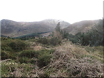
When: 9 March, 2016
When: 9 March, 2016
When: 9 March, 2016
When: 9 March, 2016
When: 9 March, 2016
When: 9 March, 2016
When: 2 February, 2016
When: 2 February, 2016

When: 2 February, 2016
When: 2 February, 2016
When: 2 February, 2016

When: 2 February, 2016
When: 27 July, 2015
When: 3 June, 2015
When: 6 April, 2013
When: 6 April, 2013
When: 6 April, 2013
When: 6 April, 2013
When: 6 April, 2013
When: 6 April, 2013
When: 5 May, 2012
When: 5 May, 2012
When: 19 March, 2012
When: 19 March, 2012
When: 12 May, 2010
When: 12 May, 2010
Explore these images in the Browser or Explore matching images including in surrounding squares (if any!)
All images  © Eric Jones and licensed for reuse under this Creative Commons Licence
Other Automatic clusters in J3630
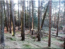
- Donard Forest
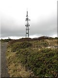
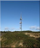
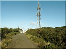
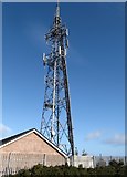
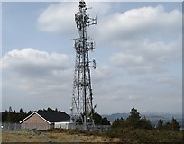
- Drinnahilly Transmitter
- Road in Donard Wood
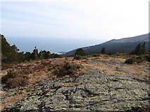
- Slopes of Drinnahilly
- Forestry Road
- Tullybrannigan Road
- Cut
- Dundrum Bay
- Trees
- Hill
- Junction
- Northern Ireland
- Shan Slieve
- Radio and Television
- Access Road
- Descending
- Rocks
- Approaching
- Limb of Sunningdale Drive
- St Colman's Church
- Cottages
- Service Road
- Serving
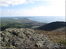
- View South
- St Colman's CoI Graveyard
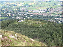
- Summit of the 250m High Drinnahilly
- Bend
- Drinahilly Mountain
- Plantation
- Land
- Resort of Newcastle
- Felled Area
- Line of the HEP Pipeline
- Log Piles
- Slieve Croob Range
- Mountain Bike
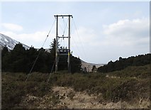
- Power Lines
- Path Leading
- Section of Slievenabrock Avenue
- Telecommunications Mast
- Track Linking
- Farnley Estate
- Outdoor Activities Centre