Your search for images, within 10km of grid reference H 169 104, returns
599 images:
( Page 1 2 3 4 5 6 7 8 ... next >> last ) [refine search]
[quick refine]
[23 squares within 4km have no or only one photo - can you add more?]
|
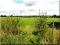
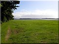
Carrickmakeegan Townland
by Kenneth Allen geograph for square H1610 Tags: [top:Lowlands] [countryside] Looking north
|
|
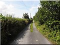
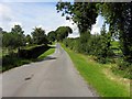
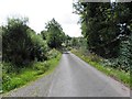
Road at Carrickmakeegan
by Kenneth Allen geograph for square H1610 Dist:0.1km Tags: [top:Roads, Road transport] [country road] Heading west
|
|
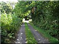
Secluded road, Carrickmakeegan
by Kenneth Allen geograph for square H1710 Dist:0.2km Tags: [top:Roads, Road transport] [country road] Heading east
|
|
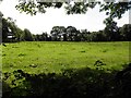
Carrickmakeegan Townland
by Kenneth Allen geograph for square H1710 Dist:0.2km Tags: [top:Lowlands] [countryside] Looking south
|
|
Garadice Townland
by Kenneth Allen geograph for square H1711 Dist:0.8km Tags: [top:Lakes, Wetland, Bog] [top:Lowlands] [countryside] [Lough] Looking south in the direction of Garadice Lough
|

|
Boeeshil Townland
by Kenneth Allen geograph for square H1611 Dist:1.2km west-northwest Tags: [top:Lowlands] [countryside] Looking east
|
|
Boeeshil Townland
by Kenneth Allen geograph for square H1611 Dist:1.2km west-northwest Tags: [top:Lowlands] [countryside] Looking west
|

|
Swan Island Animal Farm - Garadice Lough
by Suse geograph for square H1810 Dist:1.3km east-southeast Category: Farm Shannon Erne Waterway. The farm has closed since the photo was taken, and is now an activity centre and restaurant.
|
|
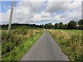
Road at Garadice
by Kenneth Allen geograph for square H1711 Dist:1.3km north Tags: [top:Roads, Road transport] [country road] Heading west
|
|
Road at Boeeshil
by Kenneth Allen geograph for square H1611 Dist:1.3km west-northwest Tags: [top:Roads, Road transport] [country road] Heading NNW
|
|
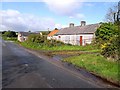
Abandoned cottage near Mullaghboy Lough
by Oliver Dixon geograph for square H1709 Dist:1.5km south Category: Cottage (derelict) Now used for general farming purposes.
|

|
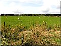
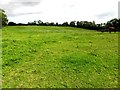
Marshy field at the head of Mullaghboy Lough
by Oliver Dixon geograph for square H1809 Dist:1.5km southeast Category: Field |

|
View across Garadice Lough from Swan Island Farm
by Suse geograph for square H1810 Dist:1.5km east-southeast Category: Lough |
|
Lisnatullagh Townland
by Kenneth Allen geograph for square H1510 Dist:1.6km west-southwest Tags: [top:Lowlands] [countryside] Looking north
|
|
Road at Lisnatullagh
by Kenneth Allen geograph for square H1510 Dist:1.7km west-southwest Tags: [top:Roads, Road transport] [country road] Heading south
|
Search took 0.01 secs, ( Page 1 2 3 4 5 6 7 8 ... next >> last ) [refine search]
· Login to view KML, GPX, or RSS versions of these results.Expand Word Statistics
Found these results useful? Please Donate
|