Grid reference SJ7605
3 km from Grindle, Shropshire, England
Coverage
We have
12 images
in grid square SJ7605
Contribute
Explore gridsquare SJ7605
Surrounding area
Maps
Loading map... (JavaScript required)
Tip: Click the map to open the coverage map
We have
12 images
for SJ7605
|
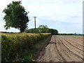
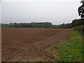
Potato field near Common Farm
Just off the A464 south-east of Shifnal.
|
|
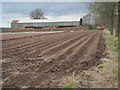
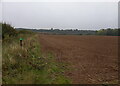
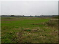
Recently sown field
by Row17
|
|
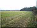
Copse and stubble beside the Monarch's Way
by Richard Law
With Lower Upton Cottage and farm in the distance, beside the A464.
|
|
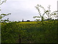
Fields belonging to Common Farm
by A Holmes
Taken just before Monarch's Way towards Common Farm.
|
|
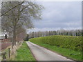
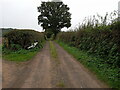
The drive to Common Farm
by Row17
|

|
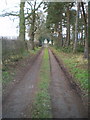
The Monarch's Way, near Shifnal, looking NE
by Richard Law
|
|
The Monarch's Way, near Shifnal, looking SW
by Richard Law
|
|
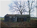
Disused field barn near Shifnal
by Richard Law
|
|
Field edge and hedgerow near Twybrook Cottage
by Richard Law
|
|
A field beside the bridleway to Twybrook Cottage
by Richard Law
|
|
Bike parked in a hedge
by Richard Law
My bike, specifically, which is leaning against a hedge on the bridleway/drive to Twybrook Cottage
|
|
Across fields towards Common Farm
by Richard Law
|
|